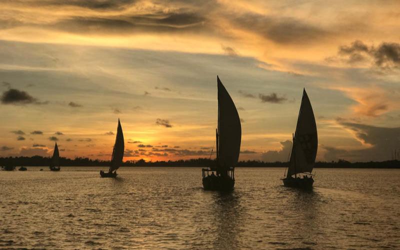



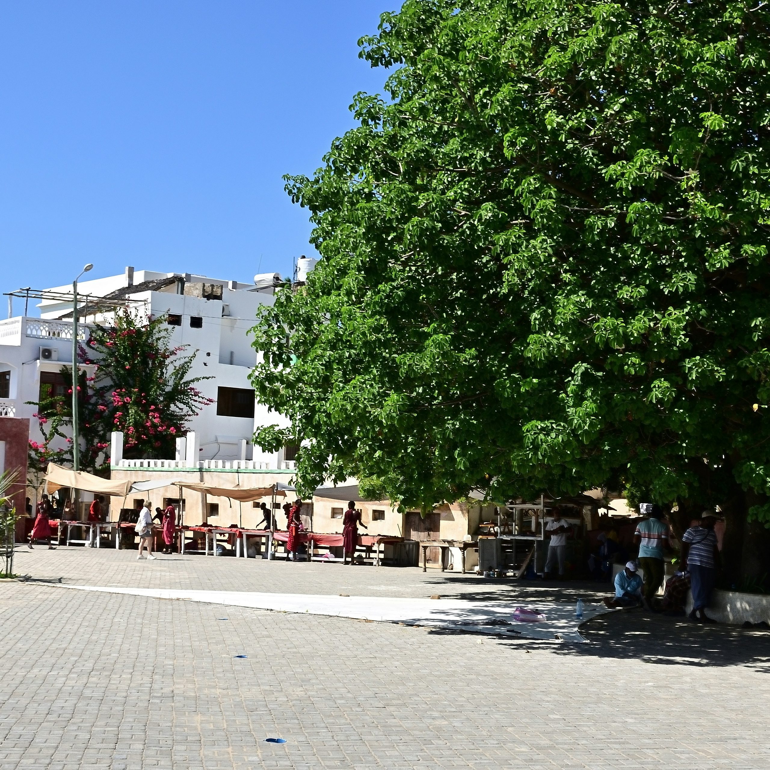
Lamu tide times can make a real difference when planning a day around the archipelago. Boats are part of everyday movement in Lamu, while beaches, exposed shoreline and shallow areas can look very different as the water rises and falls.
The table below shows predicted high and low tides for Lamu for the next seven days, together with sunrise, sunset and lunar information. Times are shown in East Africa Time (EAT).
Sun and Moon times are calculated locally for Lamu. Tide predictions are for trip planning only and not for marine navigation.
The tide predictions shown here are based on data published by the Kenya Marine and Fisheries Research Institute (KMFRI) for Lamu. Tide heights are given in metres above Lowest Astronomical Tide. They are predictions rather than live measurements of the water level, so actual conditions can also be affected by wind, waves and weather.
How the Tides Affect Lamu
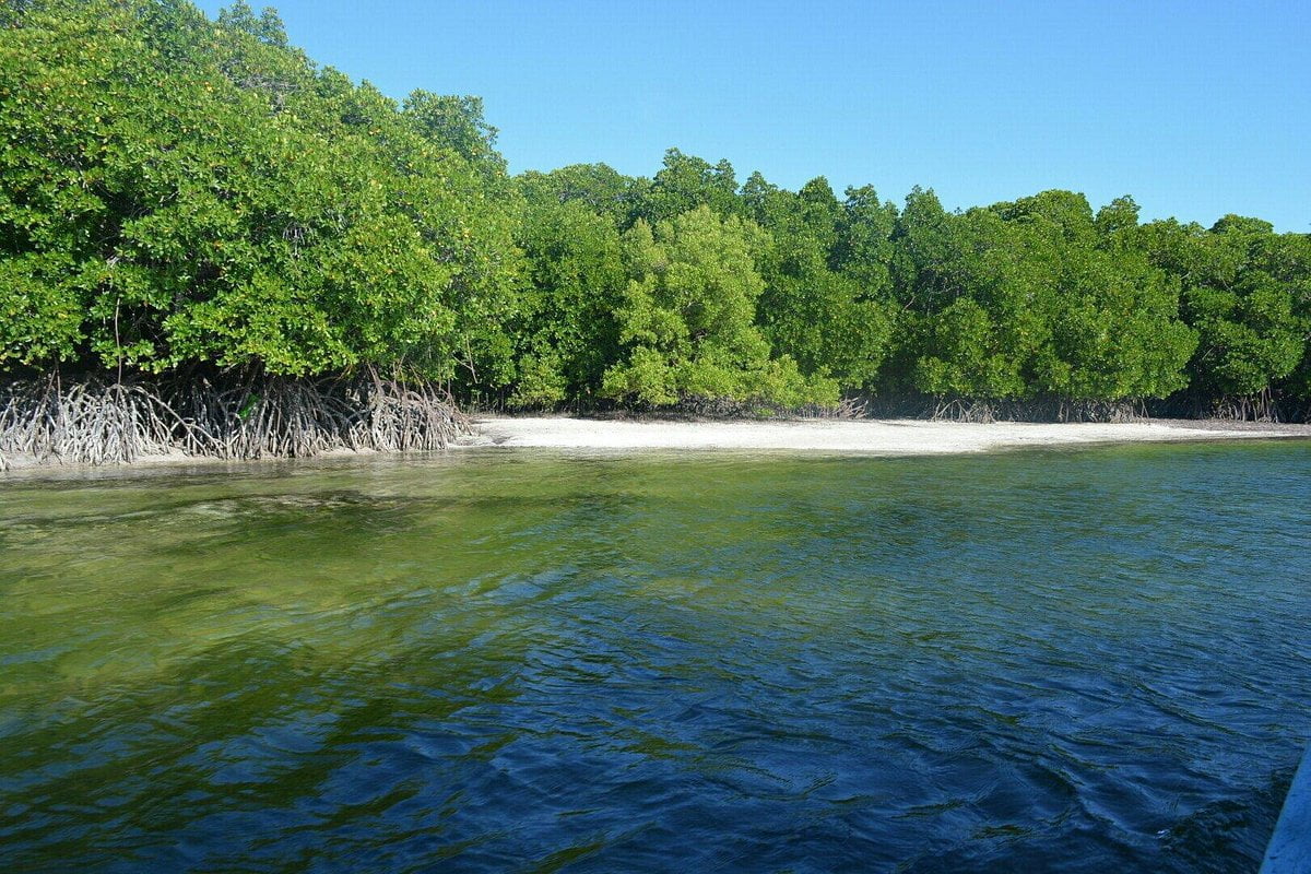
Tides are especially noticeable in Lamu because so much of the area is connected by water. Lamu Town, Shela, Manda and other parts of the archipelago are linked by boats and channels rather than an ordinary road network.
Lamu normally experiences alternating high and low tides through the day. The exact times move forward from one day to the next, while the difference between high and low water also changes through the lunar cycle.
For visitors, that means checking the tide can be useful before planning a long beach walk, time on the water or an activity close to the shoreline.
It does not mean every journey should be planned from a tide table. Local boat operators know the channels they use and will consider the tide together with weather, wind, currents, the boat and the route.
Lamu Town, Shela and the Shoreline
The effect of the tide varies depending on where you are.
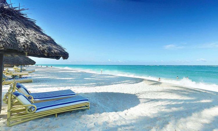
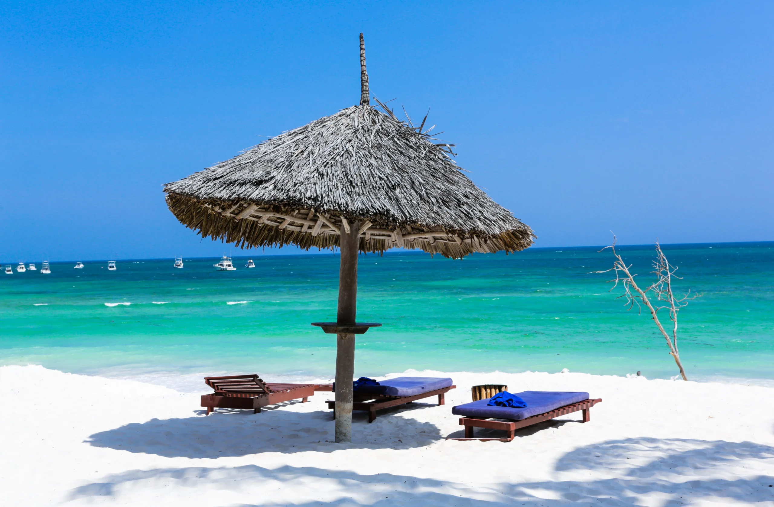
Around waterfront areas, the changing water level can alter how much shoreline is exposed. On beaches, a falling tide can reveal considerably more sand, while a higher tide may push the water much farther up the beach.
This is particularly noticeable on long stretches of open shoreline such as Shela Beach, where the appearance and usable width of the beach can change during the course of a day.
A low tide can be a good time for a longer beach walk because more sand may be exposed, but always consider the returning tide before walking far along unfamiliar stretches of coast.
Boat Travel and the Tide
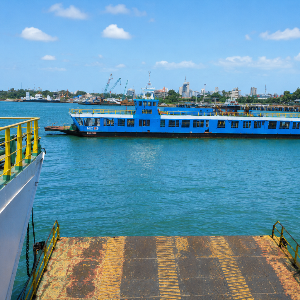
Boats are an ordinary part of getting around Lamu. Visitors arriving through Manda or travelling between Lamu Town, Shela and other parts of the archipelago will often spend at least part of their journey on the water.
Tide depth can matter on some routes and close to shallow landing areas, but the tide table should not be used as a boat timetable.
If an operator gives you a particular departure time, follow their advice. Local operators take account of the route, water depth, vessel and current conditions rather than simply looking at whether the tide is described as high or low.
For longer excursions, confirm the return arrangements before leaving, particularly if the trip continues into the evening.
Swimming and Beach Time
A higher tide does not automatically mean better or safer swimming.
Water depth, currents, waves, wind and the individual beach all matter. Conditions can also change during the time you are in the water.
If you are unfamiliar with the area, ask locally about the conditions at the particular beach rather than assuming that what applies at one part of Lamu applies everywhere.
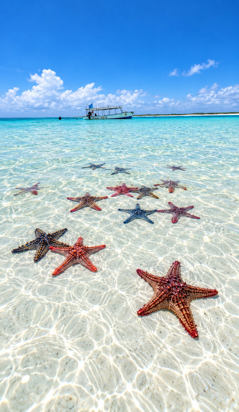
At lower tide, shallow areas and more of the shoreline may become exposed. This can be useful for walking and exploring the beach, but avoid entering unfamiliar channels or crossing exposed areas simply because the water appears shallow.
The incoming tide can cover those areas again surprisingly quickly.
Sunrise, Sunset and the Moon
The table also includes sunrise and sunset because daylight is useful when planning beach walks, boat trips and the return journey.
If you are walking a long stretch of beach in the afternoon, checking both the tide and sunset gives you a much better idea of how much usable shoreline and daylight you are likely to have.
Moon information is included because the lunar cycle is closely connected with the tides.
Around new moon and full moon, the gravitational effects of the Sun and Moon generally produce a greater difference between high and low water. These are known as spring tides.
Around the first and third quarter phases, the difference is generally smaller.
The Moon column therefore provides useful context rather than simply being decorative.
Understanding the Tide Heights
The height shown beside each tide is not the depth of the water at a particular beach or jetty.
KMFRI‘s published predictions use Lowest Astronomical Tide as the reference level. A predicted high tide of 2.5 metres, for example, does not mean that the water will be exactly 2.5 metres deep where you are standing.
Actual water depth depends on the seabed, shoreline and location.
For most visitors, the time of the high or low tide and the relative difference between them will be more useful than trying to interpret the height as the depth of the sea.
Before Heading Out
Use the tide table as one part of your planning.
For a beach walk, check the tide direction and how much daylight remains. For swimming, look at the actual sea conditions when you arrive. For boat travel, follow the advice of your operator.
Weather, waves and wind can change conditions even when the astronomical tide prediction itself is accurate.
If you are heading somewhere unfamiliar, particularly by boat or along an isolated stretch of shoreline, confirm your return arrangements before leaving.
Planning more of your time in Lamu?
Link naturally to your Lamu County guide, Getting to Lamu, things to do in Lamu, relevant accommodation and any future Shela guide.